At the end of the 50s of the XX century, the Akmola agricultural institute was established in the northern region of the Republic of Kazakhstan, consisting of the faculties of agronomy, Land Management (the first in Kazakhstan) and mechanization.
With the creation of the Faculty of Land Management, the Department of Geodesy was also created, and Doctor of Economic Sciences, Professor M. A. Handelman was elected as its head.

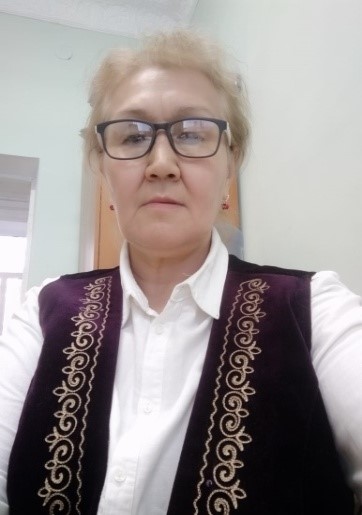
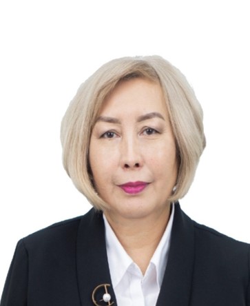
In 1997-2012, the Department was headed by candidate of technical sciences, associate professor Nurzhumin E. K. During this period, the department updated and strengthened its Geodetic Base (1 electronic full Station and 1 high-precision theodolite), as well as modern organizational techniques. In subsequent years, he headed the Department: candidate of technical sciences. Beristenov A. T., candidate of technical sciences. Kusainova G. D., candidate of technical sciences Toleubekova Zh. Z. In 2021-2022, the Department of Geodesy and cartography was headed by an associate professor. Prof., PhD Makenova S. K. since 2022. Department of" Geodesy and cartography " doctor PhD Tuyakbay A. S.
 |
 |
 |
 |
 |
 |
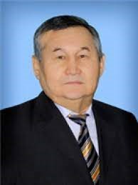
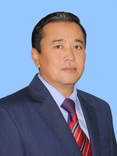
| с.t.s., Nurzhumin E.K. | c.t.s. Beristenov A.T. | c.t.s. Kusainova G.D. | c.t.s. Toleubekova Zh. Z. | doctor РhDMakenova S.K. | doctorРhD Tuyakbaу A.S. |
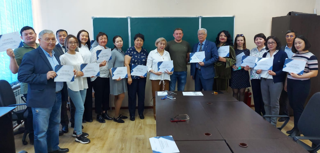
26 teachers and advisors are engaged in the preparation of specialties, including 8 candidates of technical sciences, 2 PhD Doctors, 14 Masters and 2 specialists, including 2 associate professors and 1 associate professor.Among the supporters. The department employs 2 senior laboratory assistants, 1 Laboratory Assistant and 2 laboratory assistants.

Teaching staff of the Department "Geodesy and cartography"
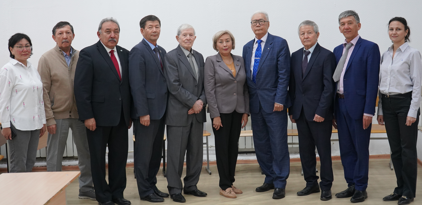
Teaching staff of the Department "Geodesy and cartography"
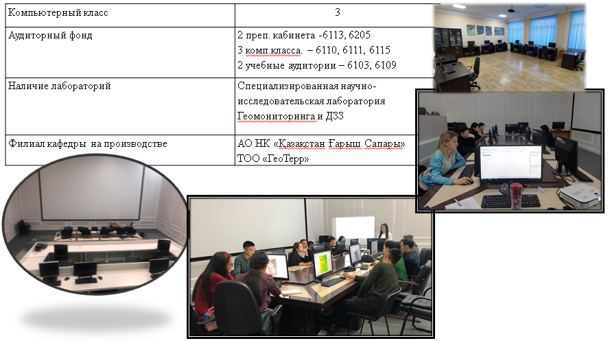
Classroom fundofthe Department
To date, the university has concluded more than 170 treaties and 57 treaties with foreign scientists (Netherlands, Germany, Poland, Italy, Korea, Lithuania, Switzerland, Australia, Czech Republic, Russia, Malaysia, USA, Turkey, Belarus, Bulgaria, Austria).
To improve the educational program, the department has agreements on mutual cooperation with other Kazakh and foreign universities. Agreements on joint educational programs are concluded, which improves the organization of academic mobility of students.
To implement internal academic mobility, a contract was signed with Karaganda Technical University for the study of the discipline "modern Geodetic methods of remote sensing measurement" (Bachelor's degree in the EP"Geodesy and cartography").
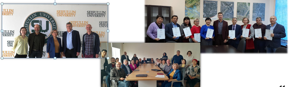
A meeting with professors of the Berlin University of Applied Sciences was organized for students and teaching staff to implement DAAD programs.Boitla B. E. Reznikov.
On the basis of the signed agreement on domestic and international cooperation in 2023:
Academic mobility:
– In January-March 2023, 2 students of the EP" Geodesy and cartography "studied at Kazgas, Almaty;
– 1 student of the 3rd year with EKSTU. Shakarim studied in KATU, Semey;
– Annually together with Karaganda Technical University. A. Saginova online lectures on the discipline" Remote Sensing of the Earth "will be held for students of the 3rd year of the EP" Geodesy and cartography;
– External mobility of 3 students of the 2nd year of the Polish Technical University (Poland)is planned.
Dual training:
–For students of the Department" Geodesy and cartography "for dual training and professional practice, a memorandum was signed with the RSE on the PCV"National Center for Geodesy and spatial information;
–A memorandum was signed with JSC NC" Kazakhstan Garysh Sapary "for dual training and professional practice of students of the Department"Geodesy and cartography".
Почетный профессор Казахского национального аграрного университета. Карьера. 1979 г. — Кайрат Айтуганов начал работать оператором цеха перевозки Кокчетавского почтамта. 1984-1985 гг. — ассистент кафедры почвоведения Целиноградского сельхозинститута. 1987-1989 гг. — агроном, старший агроном, главный экономист совхоза Карабулакский Зерендинского р-йона Кокчетавской обл.